Quickly locating appeals on our map
Are you curious about the geographic pattern of appeals allowed? Ever wanted to zoom in on appeal hotspots? AppealFinder has introduced the first map tool that enables you to do exactly that.
The appeal is located at the centre of its post-code. This is normally sufficient to be able to cross-reference it on the LPA's website should you wish to find the Location Plan.
How to map planning appeals by keyword
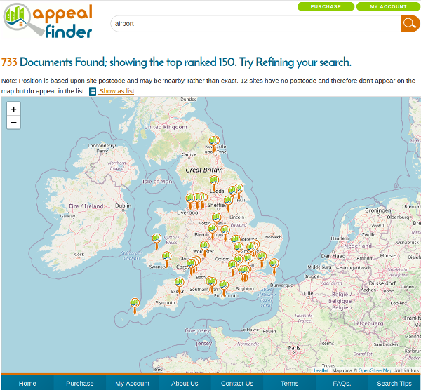
The entire database of appeal Decisions since 2010 plasters the country with more pins than a porcupine so to make the map useable it only displays the first 150 cases. For example, searching for “airport” brings up 733 appeal decisions since 2010 as shown in the screenshot below:

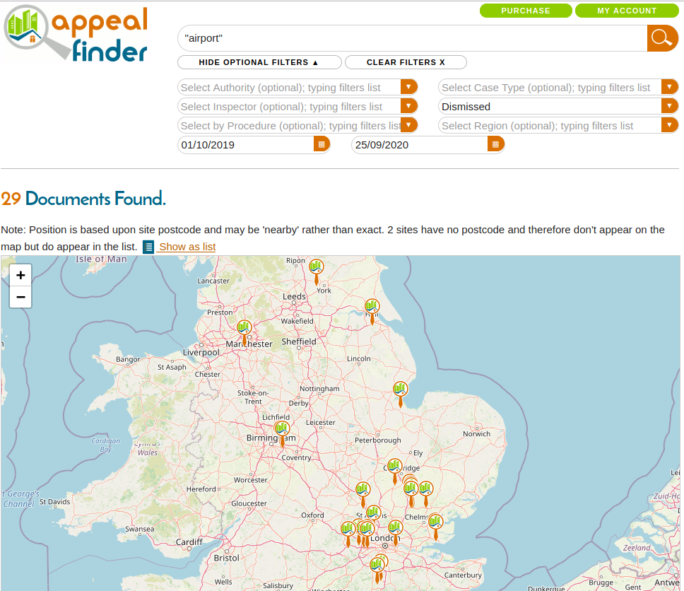
We recommend you narrow your search using date, authority, decision, procedure, etc. In the example below we have narrowed it down to decisions mentioning “airport” in the past 12 months that have been dismissed.

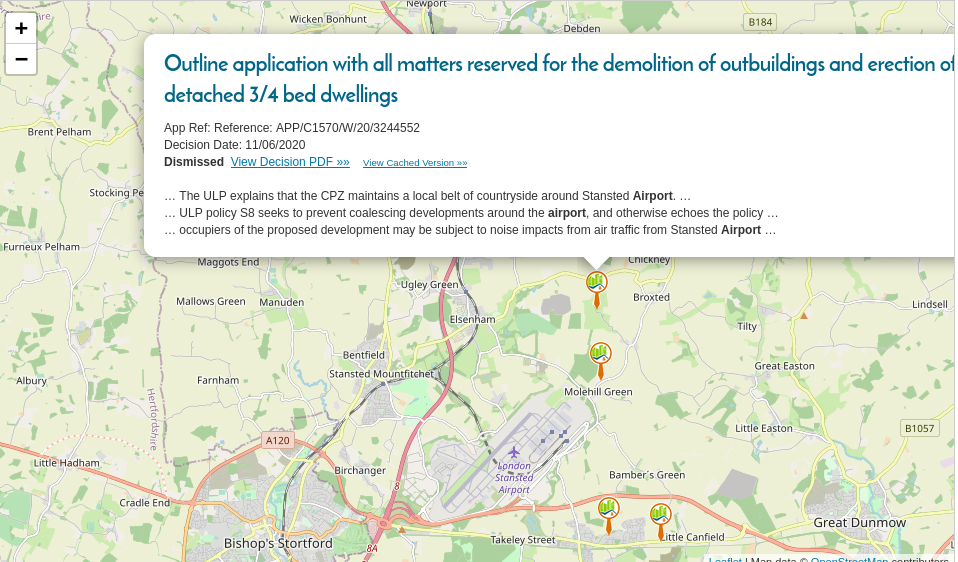
Clicking on a pin brings up a summary of the appeal decision. In our demo example below, all 4 decisions relate to the countryside protection zone around the airport, rather than development directly associated with the airport. Findings like this might help you further refine your search terms until you find the appeal(s) most relevant to your query.
Many clients find that using a combination of the keyword search and the mapping tool is very effective in narrowing down and refining an appeal search.
Note that the mapping function is only available for subscribers. You can test out our service free for a month. Just drop us a few details on our contact us form. 

